Consumer facing solutions carry significantly different challenges compared to business facing ones. Social networking, pet tracking, ride-hailing, food-delivery, travel logs - all consumer solutions appeal to users while balancing the line between complexity and simplicity. A basic challenge when dealing with consumer geo-data is User Experience:


Social Networking
- ABCD uses Maps for Maps feature which visualises user’s location in context with friends’
- Life360 allows users alert when a family member or a friend enters a particular area. Excellent for when parents want to know if kids have reached school

Efficiency
- Kippy uses geolocation API to locate pets indoors and reports it to owners in the form of photos over map.

Reporting
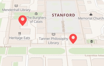
- Arro uses geocoding API to identify a user's current location and pinpoint destination based on user input. Distance Matrix API is used to identify the nearest cab that can serve the user efficiently. Maps are used to improve reliability by displaying the current position of the cab and route to be taken.
Efficiency
- ABCD uses geofencing to showcase restaurants that can serve a user’s location. Distance Matrix API is used to identify the closest driver and Routing API is used to draw a path that can efficiently make deliveries
Reporting
- PolarSteps uses reverse geocoding to identify coordinates inside photos. This is then used to present albums created based on trips/ locations.
Use cases

Asset Tracking
Lorem ipsum dolor sit amet, nsectetur adipiscing elit.
“We reduced both upfront product cost & ongoing costs by replacing GPS tracking with LocationAPI.”
Consumer Solutions
Lorem ipsum dolor sit amet, nsectetur adipiscing elit.
“We reduced both upfront product cost & ongoing costs by replacing GPS tracking with LocationAPI.”
Data Enrichment
Lorem ipsum dolor sit amet, nsectetur adipiscing elit.
“We reduced both upfront product cost & ongoing costs by replacing GPS tracking with LocationAPI.”